Rugged Data Collection Built for Surveying and Layout
The Carlson RT4+ is a rugged, high-performance touchscreen data collector designed for surveying, stakeout, construction layout, and GIS mapping. Bundled with Carlson SurvPC, the Windows-based data collection software, the RT4+ delivers powerful office-to-field functionality in a compact, ultra-durable design.
With Windows 11, a fast Intel® N200 processor, 16 GB of RAM, and 256 GB of storage, the RT4+ provides the performance needed to collect, process, and analyze data efficiently in the field or back in the office. The RT4+ is compatible with all supported GNSS receivers and total stations, making it a flexible solution for modern survey workflows.
Performance
Intel® N200 processor with up to 3.7 GHz burst performance
16 GB RAM and 256 GB PCIe SSD storage
Intel® Gen12 UHD graphics for faster display performance
Expandable Battery
Up to 15 hours of operation on a single charge
Removable, field-swappable battery
Reliable performance in extreme temperatures from -4°F to 122°F (-20°C to 50°C)
Ready for Any Job
Windows 11 for seamless office-to-field use
Long-range Bluetooth®, Wi-Fi®, and USB connectivity
Integrated 4G LTE for RTK corrections and data access
High-performance GNSS receiver
13 MP rear camera with LED and 5 MP front camera
Rugged Design
IP68 waterproof and dustproof protection
Designed to meet MIL-STD-810H standards
Shock-resistant with multiple drop protection
Built for harsh jobsite conditions
Backed by a 2-year warranty
IllumiView™ High-Visibility Display
Large 7-inch high-visibility display
Excellent sunlight readability
Optically bonded capacitive touchscreen
Supports glove use, stylus input, and wet conditions
Dragontrail™ hardened glass for impact and scratch resistance
Connectivity and Ports
USB-A and USB-C ports
Docking port for power and data
Wi-Fi 6 and Bluetooth® v5.3
4G LTE multi-carrier support
Integrated GNSS and Sensors
Integrated SBAS GNSS receiver (WAAS, EGNOS, and more)
135 GNSS tracking channels
Typical accuracy of 2–5 meters
Accelerometer, gyroscope, compass, and ambient light sensor
How it fits into your workflow
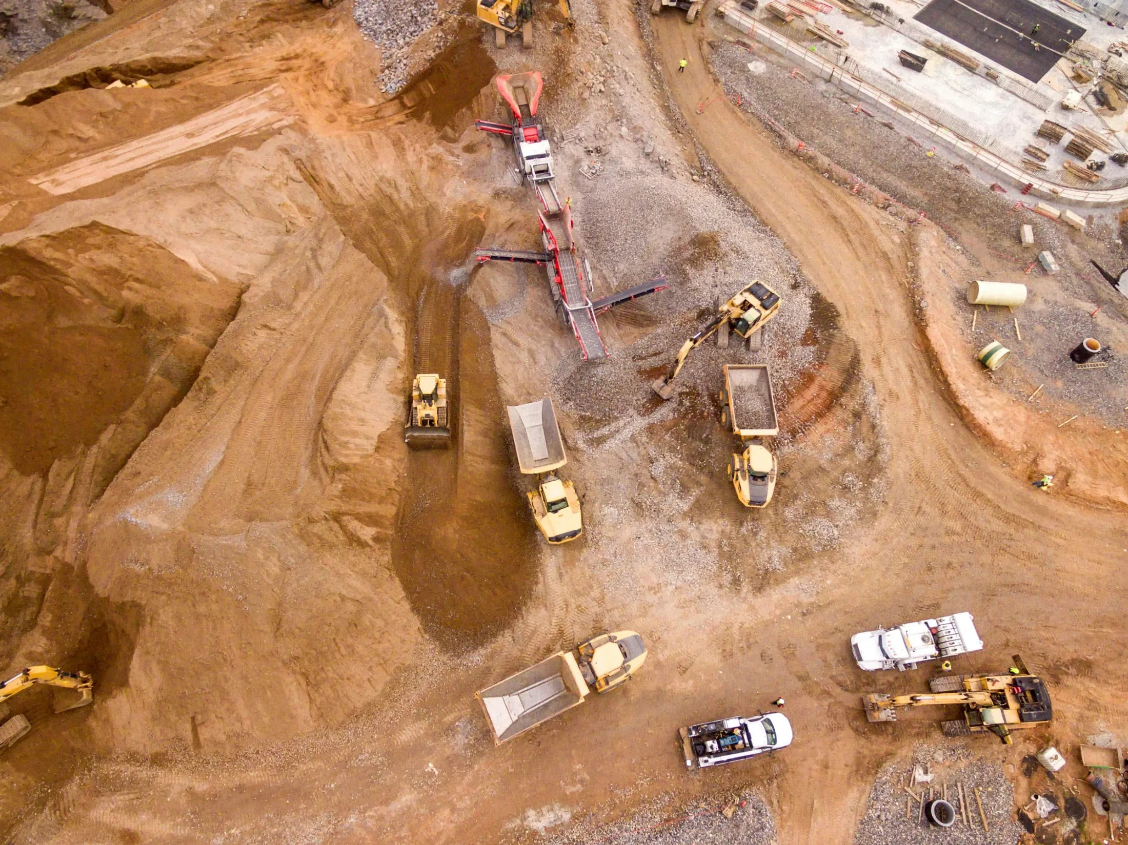
Use the Carlson RT4+ as a powerful field data collection solution paired with Carlson SurvPC for surveying, layout, and GIS mapping. Its rugged design, long battery life, and Windows-based flexibility allow crews to work efficiently in the field while maintaining full compatibility with office software and workflows.
Ready to move your next
project forward?
Connect with experienced engineers who understand complex operations. We help you plan, automate, and maintain systems that keep your facility running safely, efficiently, and on schedule.