
Versatile Aerial Data Collection with the Carlson CAP50
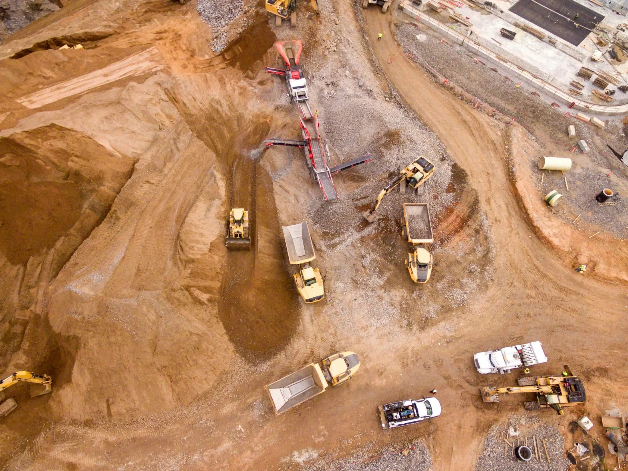
The Carlson Aerial Platform (CAP50) is an American-made UAS designed for advanced data collection across surveying, construction, engineering, mining, quarrying, and land development applications. With a payload capacity of up to 6 pounds, the CAP50 delivers flexibility and performance for professionals who require accurate, reliable aerial measurements.
The CAP50 supports multiple payload configurations, including LiDAR, photographic imaging, and a forthcoming bathymetric sensor. This versatility allows teams to rapidly collect high-quality data in environments where traditional ground-based methods are time-consuming or impractical.
Payload Configurations
Carlson CAP50 with LiDAR
Deploy a mounted LiDAR scanner to rapidly survey large areas with speed and precision. When combined with an RGB camera, RTK GNSS capabilities, and 256 GB of onboard storage, the CAP50 LiDAR configuration delivers vertical accuracy of approximately ±3 cm. This solution is well suited for surveying, construction, and mining applications that demand detailed elevation and surface data.
Carlson CAP50 with LiDAR
The UHD camera configuration enables rapid photographic surveys across large areas. This setup provides a streamlined solution for mapping, inspection, and documentation needs in surveying, construction, and mining environments.
Carlson CAP50 with LiDAR
The upcoming bathymetric sensor option eliminates the need for time-intensive, water-based surveys. Once released, this payload will allow users to efficiently map small and large bodies of water and generate accurate representations of underwater terrain.
Key Features
- Payload capacity up to 6 pounds
- RTK GNSS for high-accuracy positioning
- Tested in winds up to 50 mph with maximum payload
- Omnidirectional, 360-degree collision avoidance
- Up to 22-minute flight time with a 5-pound payload
- Compact, transport-friendly design
- Full telemetry flight logging

Payload Communication and Control
The CAP50 supports flexible payload integration through multiple communication and control ports, including:
- 2× HDMI
- 24V power
- SBUS
- Serial
- PWM
These interfaces enable seamless control and data transfer across supported payload types.
Powerful and Safe Flight Performance
Propulsion
The CAP50 utilizes 465KV motors paired with 18.5-inch carbon fiber propellers and a 22.8V 6S 25,000mAh battery. This configuration delivers strong, stable aerial performance even under demanding conditions.
Position Stability and Accuracy
The CAP50 integrates a GNSS receiver compatible with RTK systems, along with a LiDAR range finder to maintain altitude accuracy and vertical stability during flight. Redundant onboard sensors include dual magnetometers, accelerometers, gyroscopes, and barometers to ensure reliable operation.
Object Avoidance
A LiDAR-based, 360-degree collision avoidance system enables safe flight in both daytime and nighttime conditions, helping protect equipment and improve operational confidence.
How it fits into your workflow
Use Carlson Drones to collect accurate aerial data faster and with fewer resources than traditional methods. The CAP50 integrates seamlessly into surveying, construction, mining, and inspection workflows, supporting efficient planning, analysis, and decision-making through reliable aerial measurements.
