High-Accuracy Aerial Data Collection for Commercial Applications

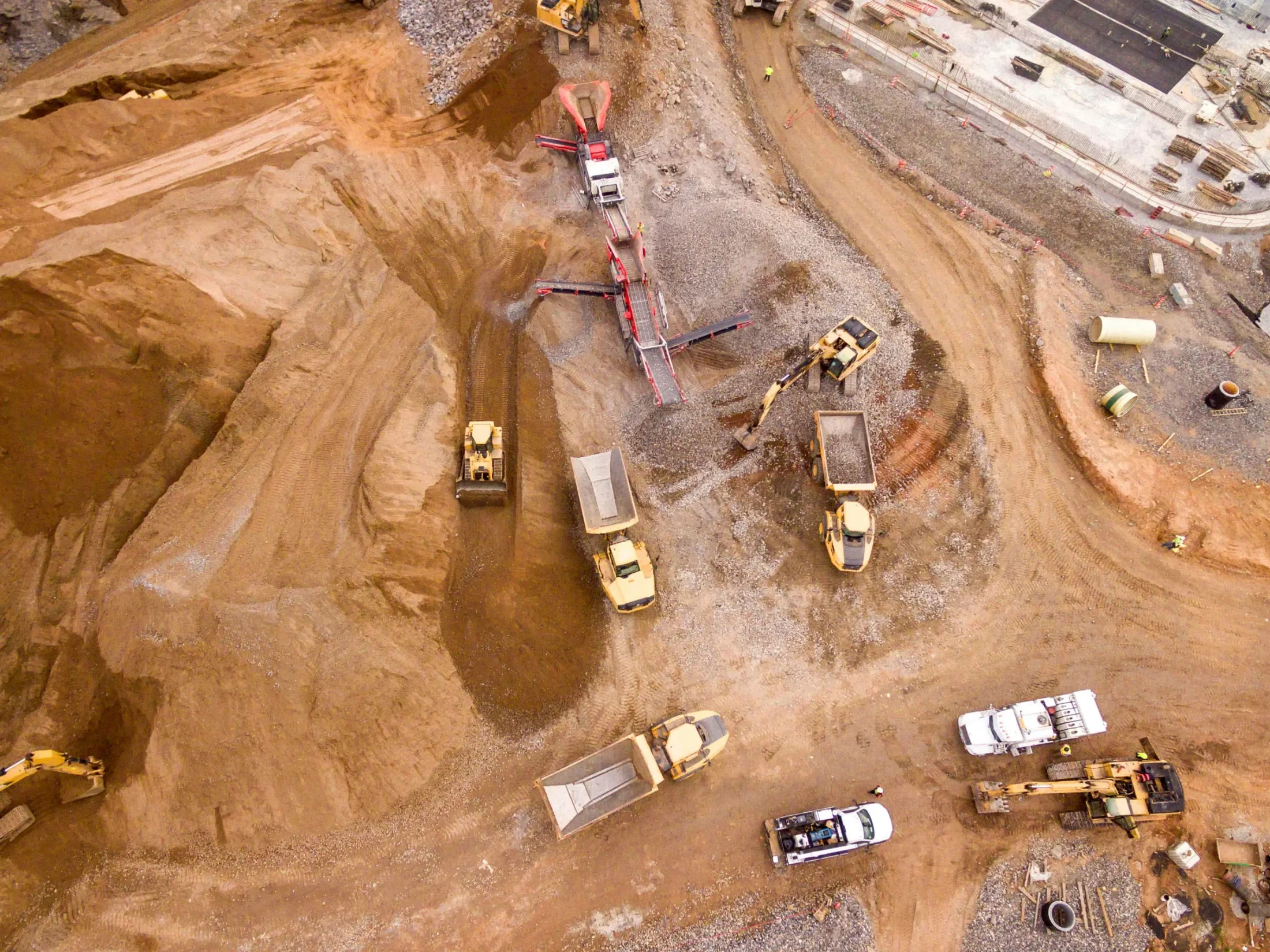
The Autel EVO 2 Pro V3 RTK Drone is a proven aerial platform designed for high-accuracy image collection across a wide range of commercial applications, including land surveying and mapping, construction, engineering, agriculture, and mining.
Equipped with RTK positioning capabilities, the EVO 2 Pro V3 RTK records original satellite observation data along with camera exposure parameters to ensure consistent, reliable results. The positioning system supports both RTK base stations and NTRIP RTK networks, enabling accurate and stable data acquisition even in complex operating environments.
Compact, portable, and quick to deploy, the Autel EVO 2 Pro V3 RTK is well suited for professionals who require precise aerial data without lengthy setup times.
Platform Options
Autel EVO 2 Pro V3 RTK Drone
Designed for high-accuracy photogrammetry and mapping workflows, this configuration delivers reliable RTK positioning and consistent image capture for professional surveying and construction applications.
Autel EVO 2 Thermal Camera Drone
The thermal imaging configuration expands capabilities for power line detection, preventative maintenance, inspection, and other thermal-based use cases where visual data alone is not sufficient.
Key Features
- RTK positioning for high-accuracy aerial data collection
- Supports RTK base stations and NTRIP RTK networks
- Records original satellite observation data and camera parameters
- Stable performance in complex environments
- Compact, portable design for easy transport
- Low takeoff and landing requirements
- Rapid deployment with approximately 45 seconds from setup to takeoff

Portable and Easy to Use
The Autel EVO 2 Pro V3 RTK features a compact design with minimal takeoff and landing requirements, making it easy to deploy in a variety of environments. Fast startup times allow operators to transition from setup to flight in under a minute, improving efficiency and productivity in the field.
How it fits into your workflow
Use the Autel EVO 2 Pro V3 RTK Drone to capture accurate aerial imagery quickly and efficiently for surveying, mapping, inspection, and monitoring workflows. The platform integrates seamlessly into measurement and LiDAR-adjacent workflows, supporting reliable data collection for analysis and decision-making.
