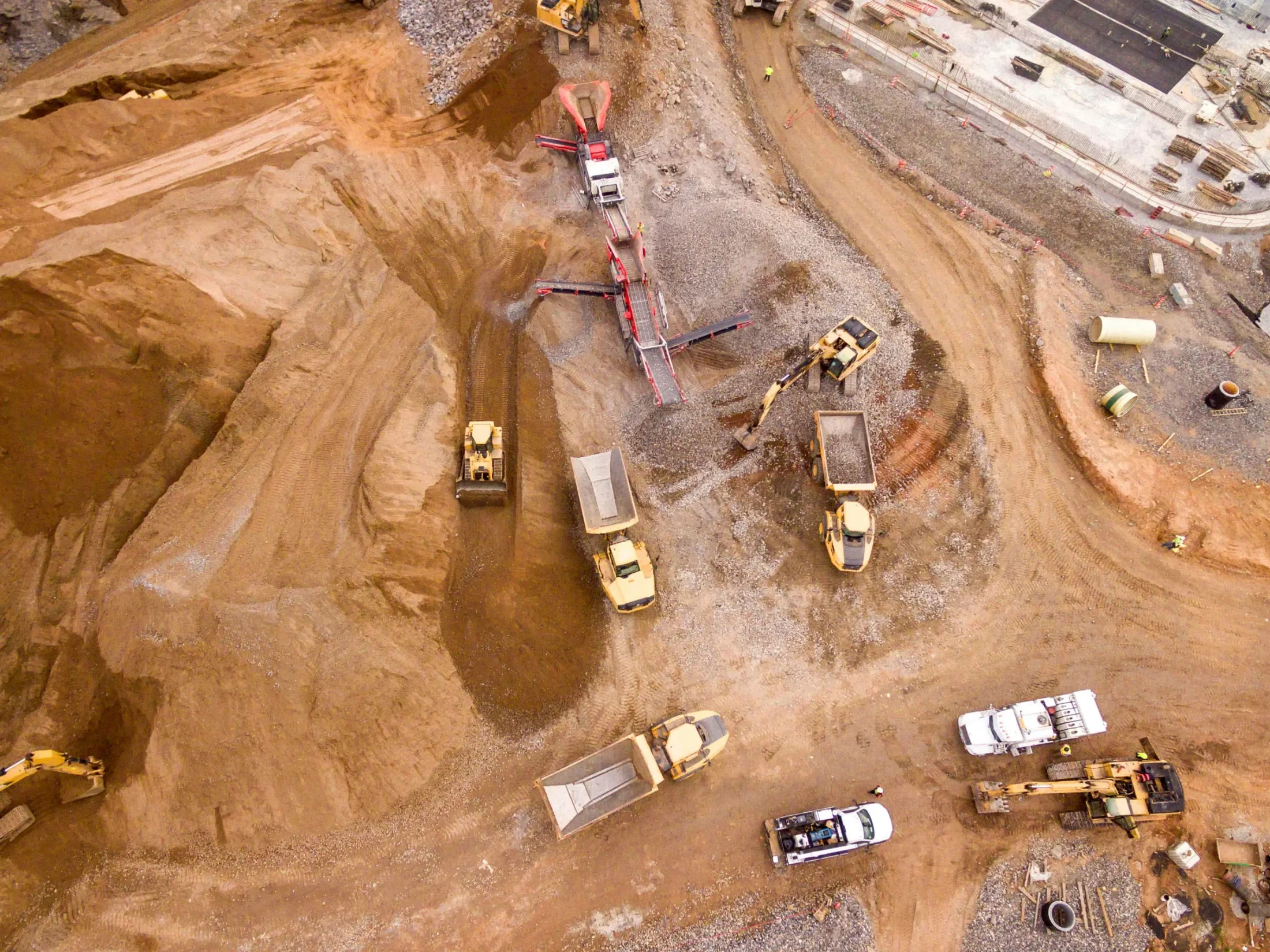
Carlson PhotoCapture is a powerful drone photogrammetry and aerial surveying software designed to turn flyover imagery into accurate, actionable site data. As drone-based surveying becomes an essential part of modern workflows, PhotoCapture helps surveyors, engineers, and construction professionals boost efficiency, reduce costs, and minimize time spent in the field.
Using proprietary processing technology, PhotoCapture transforms aerial imagery into interactive 3D maps, point clouds, orthophotos, and other critical deliverables. The software seamlessly integrates LiDAR data from aerial or ground-based sources, enabling comprehensive site analysis within a single platform.
PhotoCapture is available as both a cloud-based service and a standalone desktop application, providing flexibility for teams of all sizes.
Project Creation
Polygon selection tools to remove unwanted images with a single click
Project splitting using polygon selection for large datasets
Visualize project areas before processing
Ground Control Point (GCP) import via LandXML, CSV, and TXT
Manual GCP entry and validation
Support for metric, feet, and US survey feet
Global and local coordinate system support with thousands of projections
Project Processing
Nadir and oblique imagery support
Self-calibration with automatic camera IOP and EOP determination
Fixed calibration using user-defined camera parameters
Automated bundle adjustment
Automated point cloud densification
Automated DEM generation
Automatic contour generation
Automatic mesh generation
Automatic orthomosaic generation
Accuracy report generation.
Project Outputs
Orthomosaics in GeoTIFF, JPG, and PNG formats
DEM outputs in GeoTIFF, JPG, and PNG formats
3D point clouds in LAS, XYZ, and PLY formats
3D meshes in PLY, OBJ, and GLB formats
Contours in DXF and GeoTIFF formats
Accuracy reports in PDF format
In-browser volume calculations
Collaboration and Sharing
Web-based visualization of all project outputs
View 2D maps and 3D models in any web browser
Cesium 3D Tiles integration
Instant measurement of distances and surfaces
Share annotated projects via a simple link
Embed project outputs directly into webpages
Visualize site changes over time in 2D and 3D using the project timeline
The Survey Canvas
Available in PhotoCapture Web and PhotoCapture Standalone Advanced, the Survey Canvas is a 3D workspace for analysis and annotation, offering powerful tools such as:
Creation of 3D points, polylines, and polygons
Distance, area, and volume measurements
Grid, TIN, contour, and profile creation
How it fits into your workflow
Use Carlson PhotoCapture to convert drone imagery into accurate, shareable site data that integrates directly with CAD and surveying workflows. The platform enables faster decision-making, improved collaboration, and reduced field time across surveying, construction, and engineering projects.
Ready to move your next
project forward?
Connect with experienced engineers who understand complex operations. We help you plan, automate, and maintain systems that keep your facility running safely, efficiently, and on schedule.